
Sailing in strong tides and currents in the Channel Islands
Sailing holidays in the UK often involves navigating areas with strong tidal streams and high tidal ranges, especially around the beautiful windswept islands of Jersey and Guernsey and their associated smaller islands in the English Channel.
This lovely chain of islands is the ideal yachting destination for passionate sailors. And with careful planning and good information, you can avoid a dangerous situation. Let’s get started!
Planning Sailing Holidays in Jersey and Guernsey
Here are a few pointers to consider when planning your sailing holidays on the islands of Jersey and Guernsey for a safe and pleasant experience.
Tidal Streams
Trips like these, in colder Atlantic waters with channel tides that rise and fall precipitously, offer more of a sailing challenge because a tidal current or ‘stream’, can either work for or against the yacht and your sailing itinerary.
Tidal streams affect the bearing or heading your sailboat is on and how you manoeuvre especially in small inlets, coves, bays, and protected marinas. You may only be able to enter certain marinas when the tide level is high, for example. Or a low tide might catch your anchored boat unawares, leaving the keel in the sand.
The 3rd Highest Tidal Range Anywhere
The island of Jersey has the world’s third highest tidal range, with a difference between high and low tides of up to12 metres during spring tides. It’s a significantly higher tidal range than the southern coastlines of England and Cornwall which are on average 2-5 metres, making navigation timing in the Channel Islands all the more essential. The only more precipitous tidal ranges in the UK are in the Bristol Channel between England and Wales, reaching up to 15 metres in low to high tide variations.
Strong Winds and Tides
Furthermore, always check the prevailing wind conditions because the apparent wind speed depends on your point of sail, whether the yacht is tacking upwind at a close haul, running downwind or sailing out to a beam or broad reach. Strong winds on the Channel Islands of Jersey and Guernsey can make harbour entries and exits tricky, especially because the tidal streams can also either oppose or support the direction your sailboat is heading.
For optimum safety, calculate the ebb and flow of the tide, the speed and direction of the wind, and the heading of the boat well before you attempt any port entries or anchoring and mooring in narrow coves, inlets, or ays.
Rocky Reefs
Rocky reefs will also be exposed at lower tides, and safely covered by deep water at high tides, making the Channel Islands precarious to navigate without good maps that mark out these danger areas, a depth sounder, and a GPS. Planning sailing holidays in the UK’s southern channels carefully makes the ultimate difference between a safe arrival and docking or an extremely hazardous one.
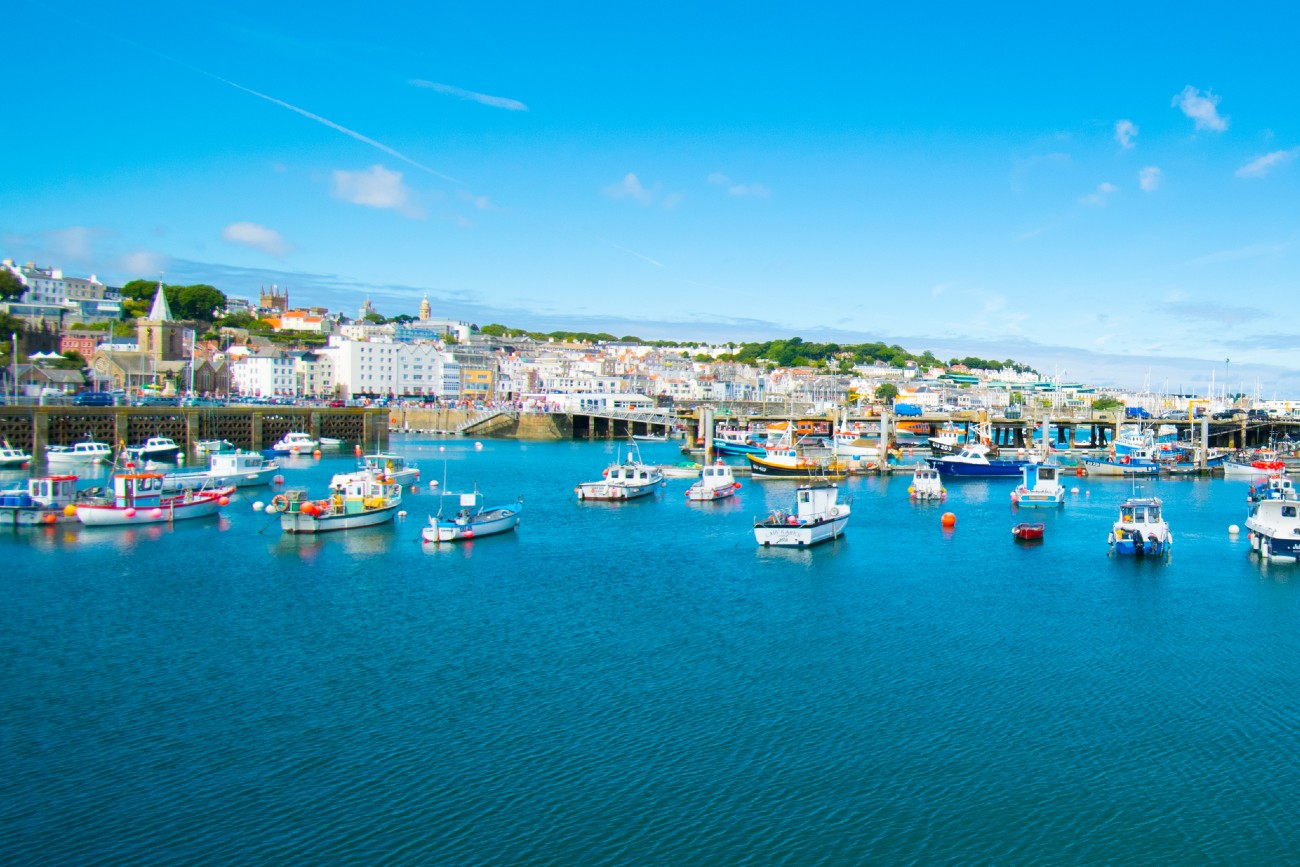
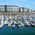
Guernsey harbour marina
2 Intertidal Zones Give Jersey and Guernsey their Unique Beauty
The rocky formation of the coastal areas, broken by large open sandy bays and wetlands, and the geography of the sea bed around the islands cause exceptionally high tides and also generate strong currents – over 5 knots in speed during spring tides.
There are two intertidal zones on the Channel Islands of Jersey and Guernsey. Intertidal zones are the shoreline (littoral) areas that are twice daily covered by rising waters – and then exposed to the air by rising and falling tides. Tidal streams never run uniformly but move faster in deep waters and slower in shallow areas.
Sailing boats travelling the coasts will experience two types of shorelines – each with its unique beauty and marine diversity – and particular tidal features.
Steep Cliffs, Promontories, and Inlets | Short Intertidal Range
The cliffs and high promontories of the islands form tight coves, inlets, and natural harbours. These are bounded by a deep sea as the seabed drops steeply off the rugged rocky coastline. Here there are relatively small intertidal areas, and the tides move rapidly in and out.
This formation gives rise to the gorgeous deep clear blue colour of the English Channel, set against the soft green headlands dotted with stone-walled cottages and towns. For example, sailing along the north and southwestern cliffs of Jersey and the southeastern coast of Guernsey.
Because the intertidal range is so low, the tides will appear to rise and drop suddenly – twice a day.
Your boat could be floating nice and high at anchorage, or berth, only to find in a matter of minutes that the keel is resting on the seabed.
This situation means it’s important to check harbour information before planning to enter and leave – and always to be aware of when the tides.
Wide Open Bays and Shallow Shorelines
Low coastal edges and sandy foreshores with very shallow sloping shore profiles and bays with large intertidal flats and reefs that are precarious for sailboats. The Bailiwick of Jersey doubles its area between high and low water spring tides which gives an idea of how large the range can be.
Because tides move more slowly in and out of shallow areas, you will have more warning time in large sandy bays when the tide starts as a back eddy – as much as half an hour to three hours to move position to deeper areas.
A safe journey with a happy ending berthed safely in a harbour, or at anchor in a bay, depends on carefully checking the resources available to sailors that give important information about sailing in the Channel Islands.
5 Good Resources for Sailing in the UK Channel Islands
Before you set off, check out these important resources for planning your sailing trip.
A detailed high tide schedule that gives accurate daily times for each region of the islands.
Local weather forecasts
Going online on a mobile device, if you are sailing near the coast, is one of the best ways to find up-to-date and accurate forecasts. Keep your devices charged and make sure you have a mobile data contract to always stay connected as you near the shoreline.
VHF Radio Broadcasts on Local Channels
Keep updated on your yacht’s radio – and tune in to the harbour master channels and other boats for weather warnings.
Nautical English Channel Map
Make sure you have a good nautical map onboard that marks dangerous reefs and rocket islets.
Harbour Reports
The Channel Islands have an excellent online site where you can watch videos of each harbour and marina on the island to understand the conditions before you enter. The site also shows the daily winds and tides. The Jersey Marina’s visitors’ page is also a great source of valuable information.
We wish you happy sailing with careful planning in the beautiful Channel Islands. The best time to go is in summer, from June until the end of August.
See you out there on the deep blue sea, hiking the towering cliffs, or searching for seashells and other curiosities in the long and biodiverse intertidal zones.
Enjoy more adventures in the Channel Islands! Do you prefer cycling? Then don’t miss the following article: Hiring a bicycle in the Channel Islands